Extreme Weather Needs Assessment for Amador and Calaveras Counties
SB1 Adaptation Planning Grant: Final Case Study
Summary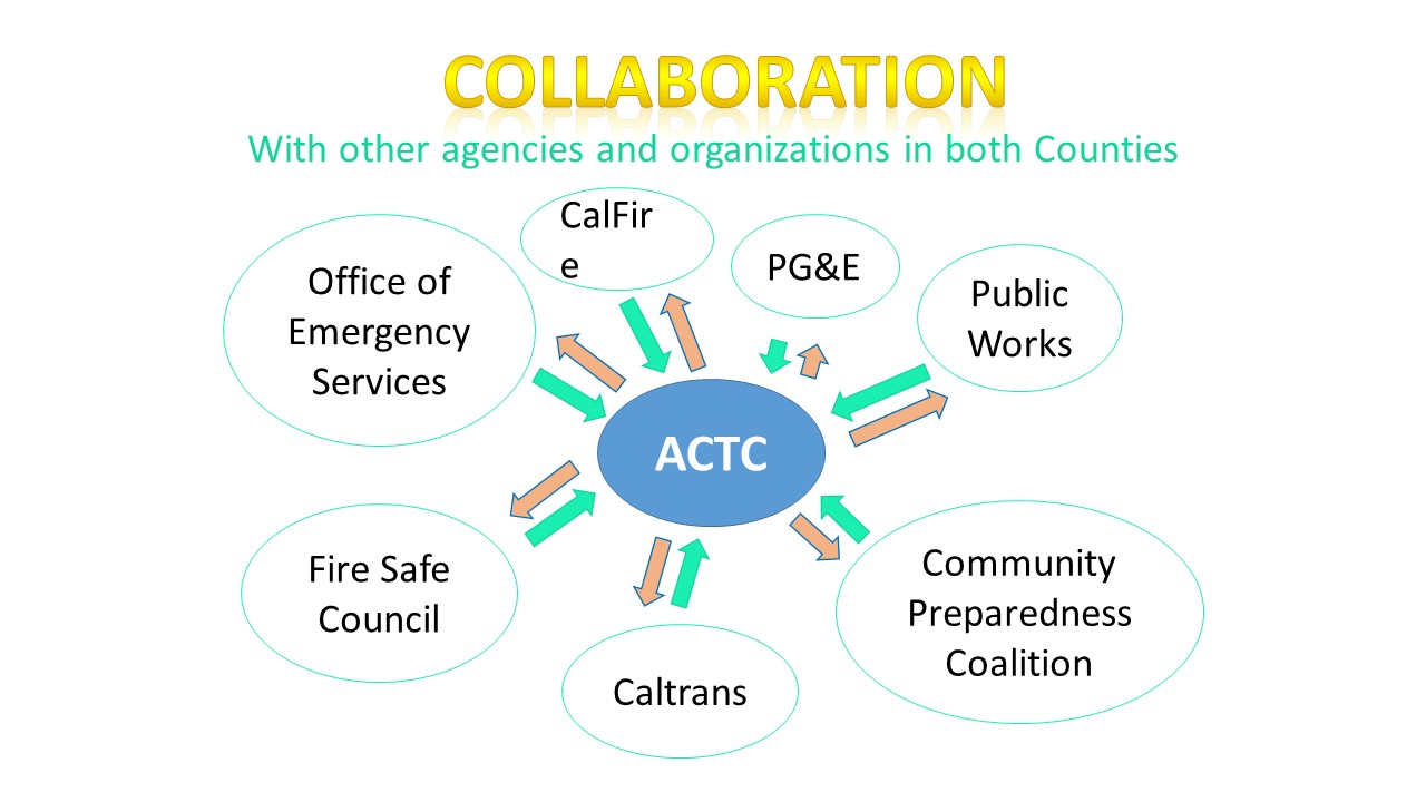
Amador and Calaveras County, in partnership, received a Caltrans Adaptation Planning Grant award to study extreme weather event impacts. Prevention and response strategies were developed to mitigate risk to local communities and damage to roadways caused by wildfire and flooding. This study will assist the region’s emergency preparedness for extreme weather events.
The project was completed in March 2021 with the goals of improving safety, resiliency, and sustainability of roadways for use in emergency situations, and fostering healthy, livable communities by preparing for extreme weather-related risks. It advances the Caltrans Mission Statement, Adaptation Grant Program Guidelines and Climate Change Pillars, respectively:
- “To provide a safe, sustainable, integrated and efficient transportation system to enhance California’s economy and livability.”
- “To support planning actions at local and regional levels that advance climate change efforts on the transportation system.”
- ”Safeguarding California” with a focus on Climate Justice and Emergency Management principles and techniques.
A final report was delivered that describes the region’s vulnerability to climate change events, provides a methodology to identify and prioritize roadway segments at highest risk, evaluates important evacuation route impairments and recommends improvements to strengthen the region’s resiliency.
Lead Agency and Partnerships
The Amador County Transportation Commission (ACTC) was lead agency for this project, collaborating with participating stakeholders from Office of Emergency Services, Public Works, Fire Safe Councils, Caltrans, CAL FIRE and local Fire Departments.
The project built on existing resiliency efforts already underway by leading the development and mapping of evacuation routes, developing a Community Vulnerability Model that identifies and prioritizes mitigation projects, integrating mapped inventories of roadway flood impairment locations and providing augmentation recommendations.
Key project success resulted from collaborations among local agencies and community-based organizations to freely share information and advance current emergency planning and response efforts. Stakeholder meetings brought local knowledge and technical oversight together to coordinate existing data, discuss needs and develop strategic approaches to reduce risk.
Drivers
This project was driven by local concern over the intensifying severity of extreme weather events. Recent extended drought conditions and increased tree mortality throughout the Sierra foothills has heightened local awareness of the dangers of wildfire. The availability of grant funding from Caltrans was a welcome opportunity to address local concerns.
Engagement Process
The majority of project area residents are vulnerable to wildfires. Many roads are narrow and winding, often flanked by dense vegetation. With few alternate routes available, evacuation planning is essential. The Team identified strategies to improve the circulation system and worked in partnership with the Fire Safe Council and fire districts to identify roadway improvements that can serve as strategic fire break network improvements.
Severe winter storms lead to flooding, erosion and debris flow that damage roadways. In partnership with County Public Works, the Team identified roadway improvements to reduce vulnerability to extreme weather drainage and flooding.
Additionally, foothill communities contend with emergency evacuation challenges due to elderly and low-income residents with physical limitations and limited transportation options. Stakeholder agencies representing vulnerable populations provided valuable input in the development of recommendations to meet their specific evacuation needs.
Community-based evacuation maps were also developed for communication and outreach to residents and visitors. The maps and related documents provided information on wildfire readiness, advanced notification and safe evacuation procedures.
Climate Impact Area
This project focused on two major extreme weather events – wildfires and severe winter storms. Native oak woodlands and the steep chaparral of the Sierra foothills combine with increasing hot, dry summers to increase fire risk. Many existing roadways were developed from gold rush era routes and have substandard geometries such as narrow lanes, lack of shoulders, steep side slopes and tight curves. The roads often have poor drainage and heavy vegetation along the rights-of-way. These conditions lead to road damage during heavy storm flows and also present challenges during evacuations.
This project collected information on the condition of primary and alternate evacuations routes that can be used to prioritize maintenance activities and capital improvement projects to address deficiencies on evacuation routes. Continued monitoring will enable tracking of improvements and assessing the effectiveness of implemented mitigation measures.
Funding Source
This project received $150,466 in funding from a 2018-2019 SB 1 Caltrans Adaptation Planning Grant.
Research and Data
The project team developed Geographic Information System (GIS) data layers of fire hazard, vegetation, slope, and roadway characteristics, and utilized GIS to identify and map primary and secondary evacuation routes. Evacuation route map books were produced for emergency response agencies.
Additional data collection to fully inventory and assess the road network is needed to better identify and prioritize mitigation improvements. Conducting LiDAR digital 3D roadway surveys to gather vertical and horizontal data on road width, surface type, condition, curvature, shoulders, turnouts and vegetative encroachment is a need identified through this process.
Challenges
Due to limited financial resources, rural counties often have inadequate digital data collection capabilities. Locating and obtaining accurate data currently maintained by various agencies was challenging. These data were integrated into a GIS repository, which will be shared with partner agencies.
Improving public awareness of what to do in case of wildfire is another challenge. Collaboration with stakeholders to create enhanced communication and outreach strategies with unified messaging of joint purpose is key for developing extreme weather resiliency. Problems of areas with poor cell phone service and incomplete participation by residents in the CODE RED emergency evacuation notice program can be overcome in degrees by clear messaging of wildfire readiness and preparation strategies and expanded outreach via community meetings, newspaper and radio advertisements, and formal elected official statements.
Outcomes
The Project final report describes:
- existing roadway conditions
- road segments vulnerable to extreme weather events
- prevention strategies and mitigation treatments
- estimated direct and indirect costs
- recommended improvements to enhance resiliency
Replicability
This work is available to any jurisdictions seeking to address impacts arising from extreme wildfire and severe winter storms.
Further Information
Questions may be directed to: